River subbasins more depleted than
official figures show
09 April 2024
Published online 18 June 2019
Computer models using data from a 1995 earthquake and tsunami in the north-eastern tip of the Red Sea reveal it could happen again.
Natalie Michelson
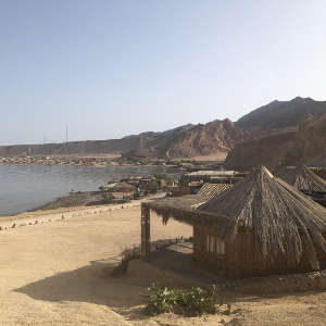
The magnitude 7.2 earthquake occurred off the coast of Nuweiba, Egypt along the Dead Sea Rift, via a series of faults running northwards from the Red Sea, through the Dead Sea and ending in southern Turkey. The earthquake caused tens of casualties and damaged buildings in Nuweiba, as well as in Eilat, Israel and Aqaba, Jordan. A small tsunami was seen in coastal cities in the area. Now, Amos Salamon of the Geological Survey of Israel and colleagues have used the open-source GeoClaw modelling program to test how well several earthquake models fit with observations made at the time.
The team combined field evidence with eyewitness reports and readings from a tidal gauge near Eilat to estimate the tsunami’s parameters. Next, they ran four different earthquake models in GeoClaw to simulate the event. All four models predicted a tsunami, confirming they could result from earthquakes in the Gulf of Aqaba even though such events are rare in the historical record.
Two of the models produced a better match for eyewitness reports of wave heights. One of these two also produced a better prediction of wave arrival times at different points around the coast. This best-fit model predicted lower waves than those seen in Nuweiba harbour, where peak heights of 3-4 metres were reached, leading the team to suggest they may have resulted from features of the harbour's structure or a local underwater landslide.
“This is an important first step using a number of simplifications and assumptions. Future work should improve and extend it for adequate tsunami-hazard assessment for the region,” says Martin Mai, a geophysics professor at Saudi Arabia’s King Abdullah University of Science and Technology, who wasn’t involved in the study. “A comprehensive modelling effort is needed to quantify the tsunami hazard in the Gulf of Aqaba to be able to assess the risk of tsunami damage during future earthquakes, in particular because of the large infrastructural developments in the region, such as the proposed new city of NEOM on the Saudi side, just across from Egypt’s Sharm El Sheikh.”
A more precise understanding of risk is next on Salamon’s agenda. “The next step for us is to try to quantify the hazard,” he says, explaining that this will involve further modelling to predict likely wave heights, arrival times, and inundation levels, as well as the frequency of tsunami-generating earthquakes and submarine landslides in the region.
Salamon highlights the importance of evaluating earthquake-related hazards, such as ground motion, surface rupture, landslides, and tsunamis. This is especially essential for the growing infrastructure projects around the Gulf, particularly the Red Sea-Dead Sea Water Conveyance, a pipeline that aims to alleviate Dead Sea evaporation, provide desalinated water to Jordan, and energy to Jordan and Israel. “They need to be aware of the seismological hazards in the Gulf because it is a very important project. I hope this information will be shared among all countries surrounding the Gulf of Aqaba.”
doi:10.1038/nmiddleeast.2019.88
Frucht, E. et al. A fresh view of the tsunami generated by the Dead Sea Transform, 1995 Mw 7.2 Nuweiba earthquake, along the Gulf of Elat-Aqaba. Seismol. Res. Lett. http://dx.doi.org/10.10785/0220190004 (2019).
River subbasins more depleted than official figures show
09 April 2024
Arab countries perform poorly on climate action scorecard
24 March 2024
12 March 2024
18 January 2018
29 May 2019
13 October 2010
Sign-up to receive our e-alert update every two weeks to keep up with everything new on the portal.
Sign up for e-alerts
Stay connected: